| page 1 of 2 |
|
Northeast Tasmania As seen by |
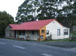
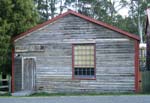
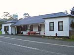
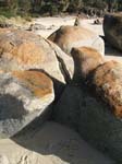
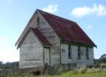
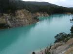
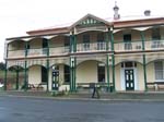
Northeast Tasmania (see map with places referred to highlighted) is a largely rural area, with agriculture originally mainly based on forestry, cattle and dairying. Latterly it has also seen the development of an important world class viticulture industry, centred around Pipers River in particular. Historically it was noted for its mining; it was one of the world's principal sources of tin for many decades, centred around Derby (pronounced Darby). This town fell on hard times after the closure of the largest mine in the 1960s, and has only in recent years staged a tourism-based recovery. The famous blue lakes are in the craters left by mining, and owe their vivid turquoise colour to the kaolin clay base and mineral inclusions. The largest centre in the Northeast is Scottsdale, and further west is Georgetown. The latter, on the east bank of the mouth of the Tamar River, was the first site of settlement in the north, only months after the first settlement at Risdon Cove near Hobart in the south, in 1804.
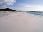
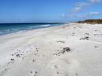
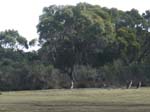
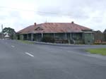
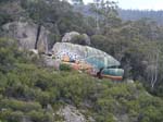
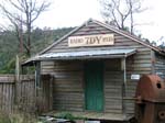
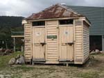
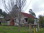
This group of photographs are not meant to be comprehensive or even especially representative. They are merely, as with all of the other photographs on this website, things that took my eye while holidaying in the area in early August 2009.
| page 1 of 2 |